Beneath the Surface
What 18 years of protection is telling us about Tapuae Marine Reserve
There is a lot happening beneath the surface of Taranaki’s coastline.
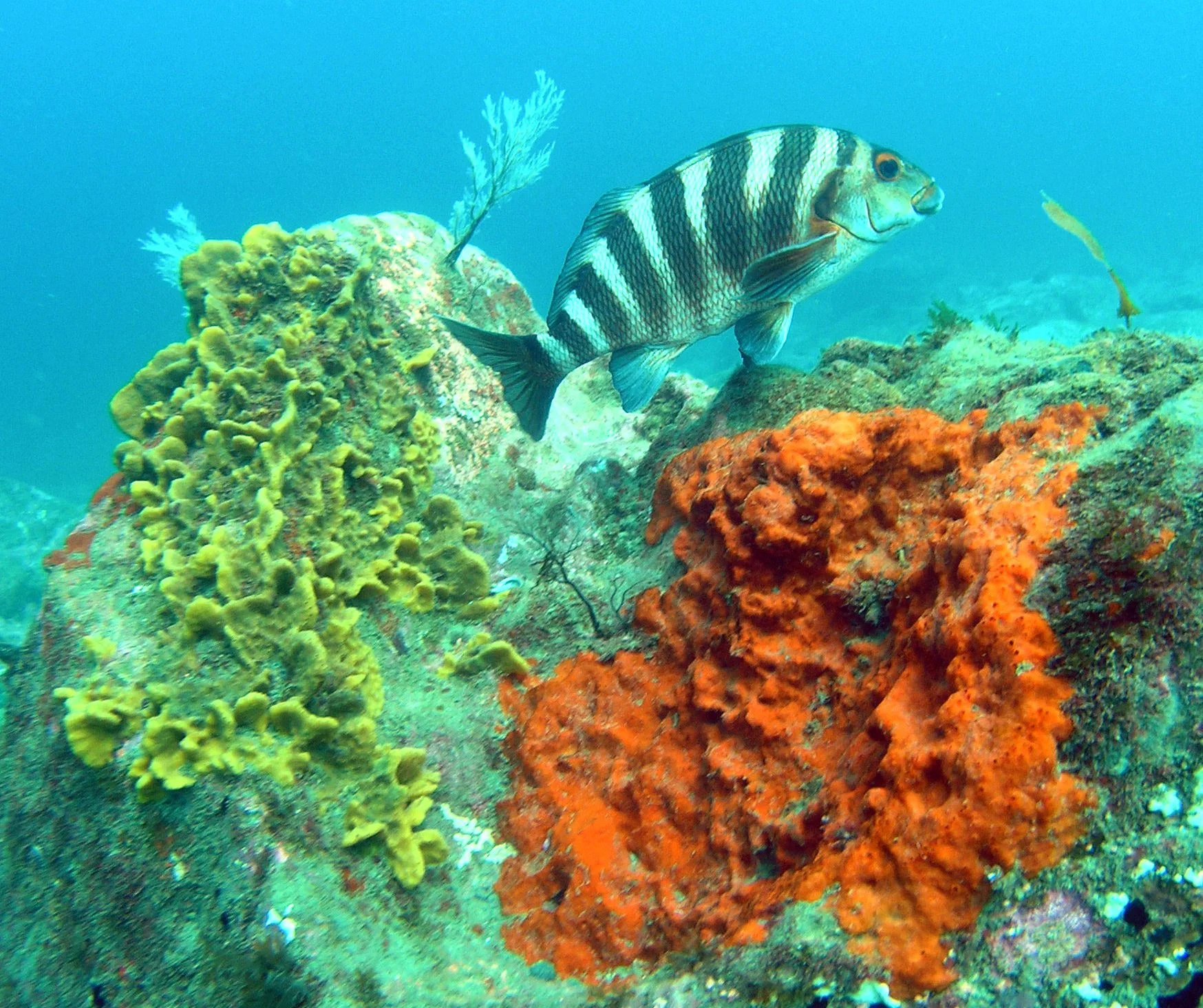
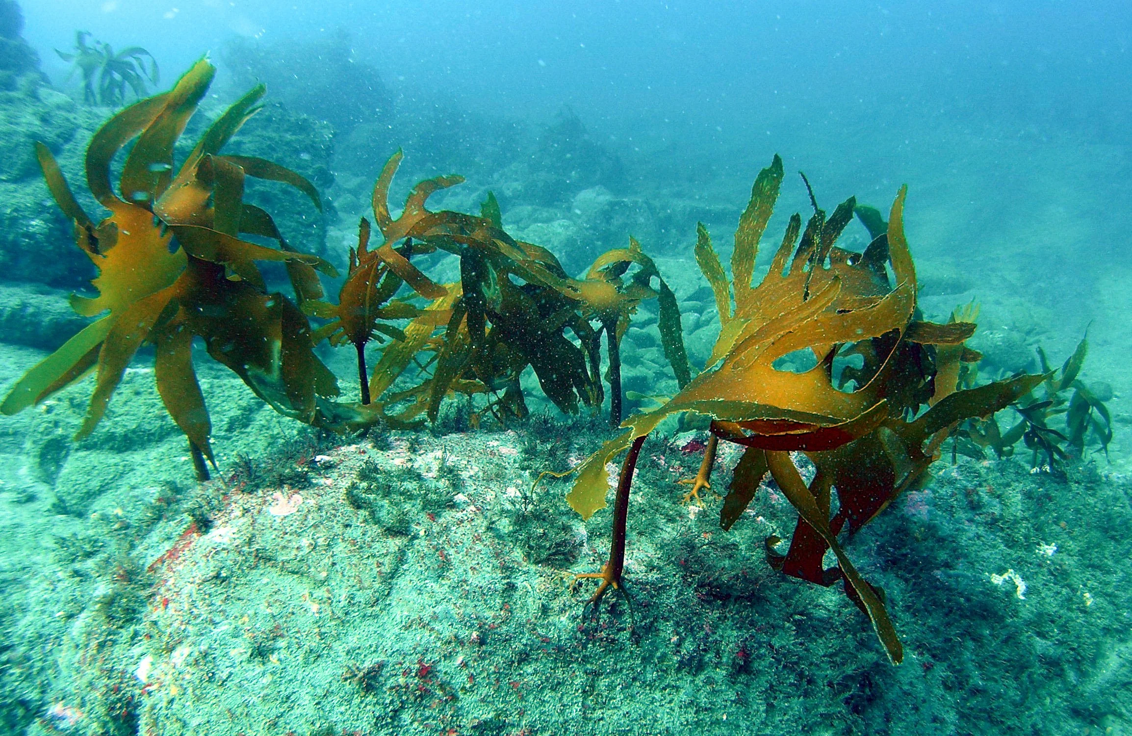
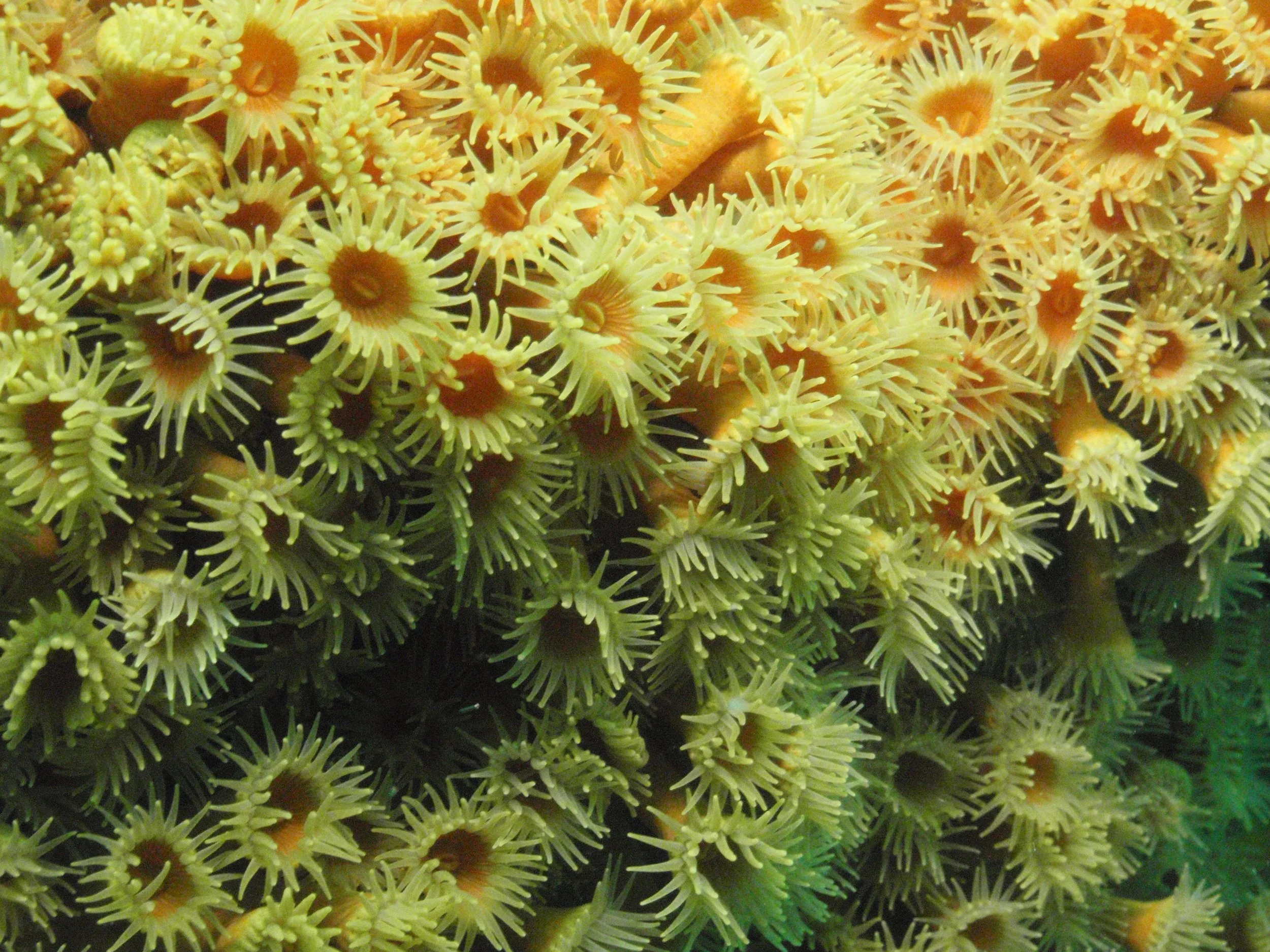
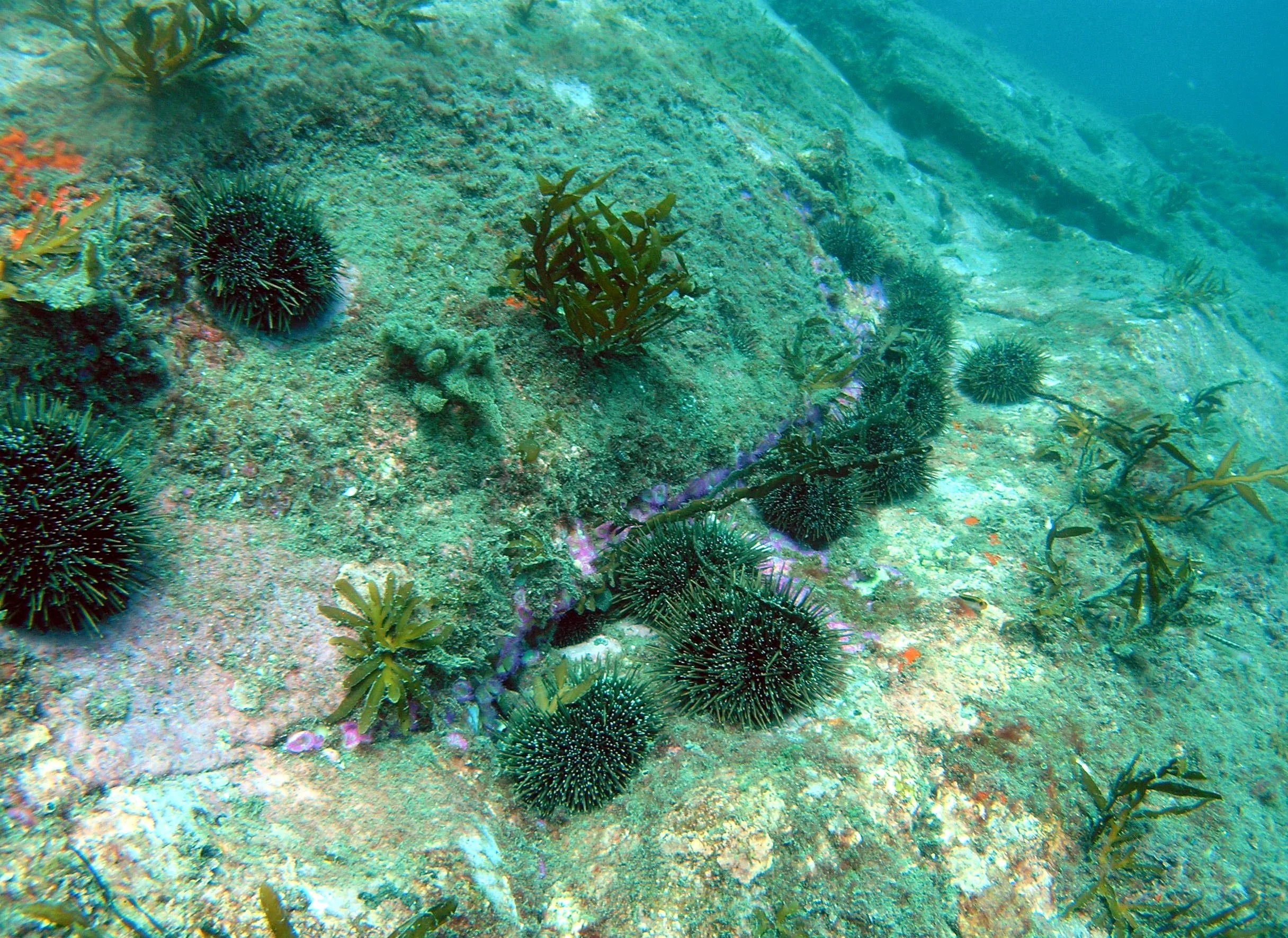
From rocky reefs and underwater caves to sandy seabeds, kelp, kina, kōura and schools of reef fish, Tapuae Marine Reserve protects a remarkably diverse underwater world.
Now, after 17 years of protection, monitoring is helping build a clearer picture of what is happening below the waves.
The latest monitoring report from the Department of Conservation brings together more than two decades of observations and research, from surveys carried out before the reserve was established in 2008 through to monitoring completed in 2024.
And one message stands out: strong marine protection matters.
A special stretch of Taranaki coast
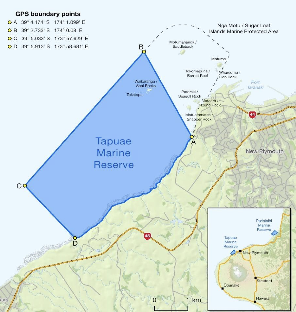
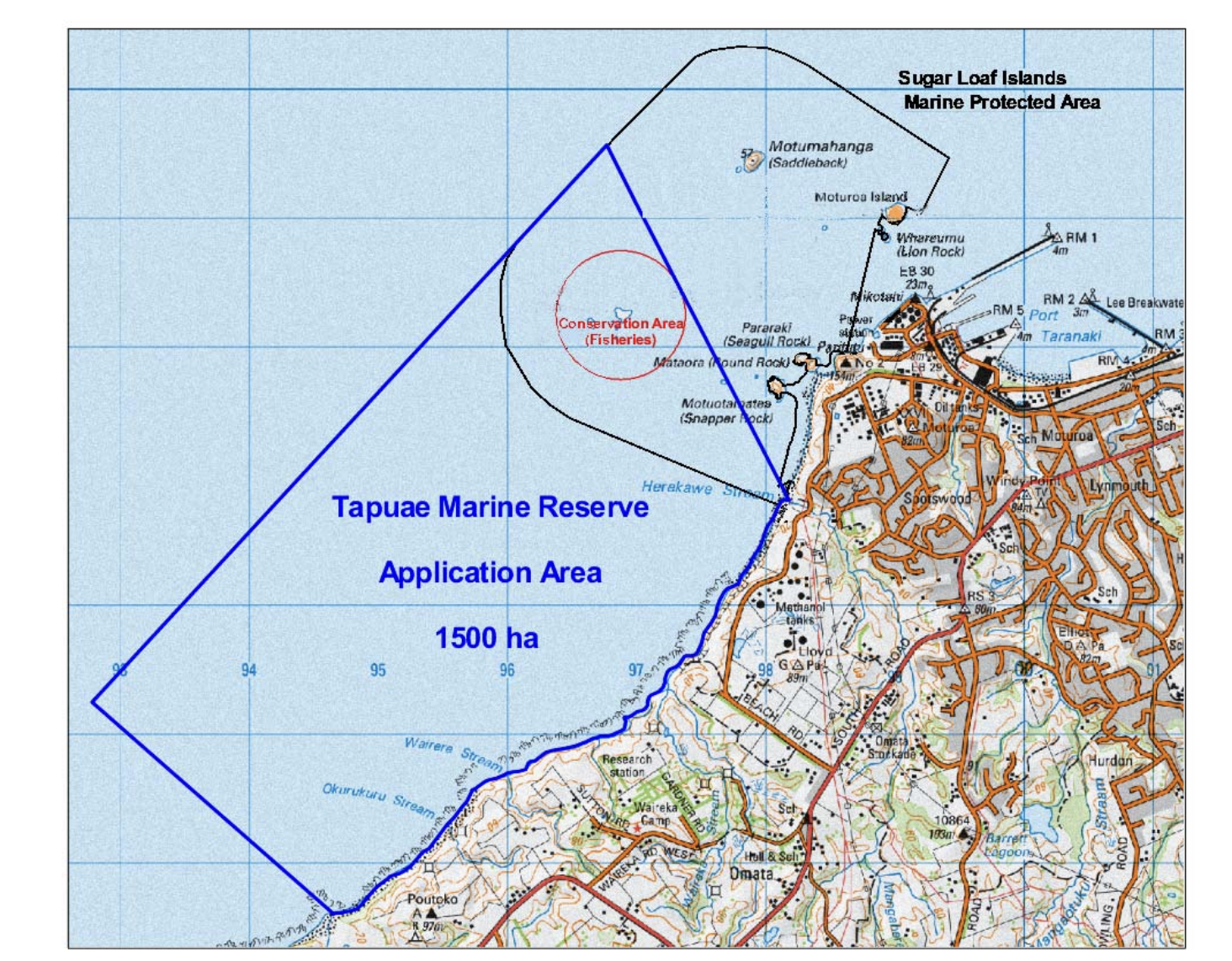
Tapuae Marine Reserve (map shown above left) covers about 1,404 hectares, 14 square kilometres of coastline between Tapuae Stream and Herekawe Stream.
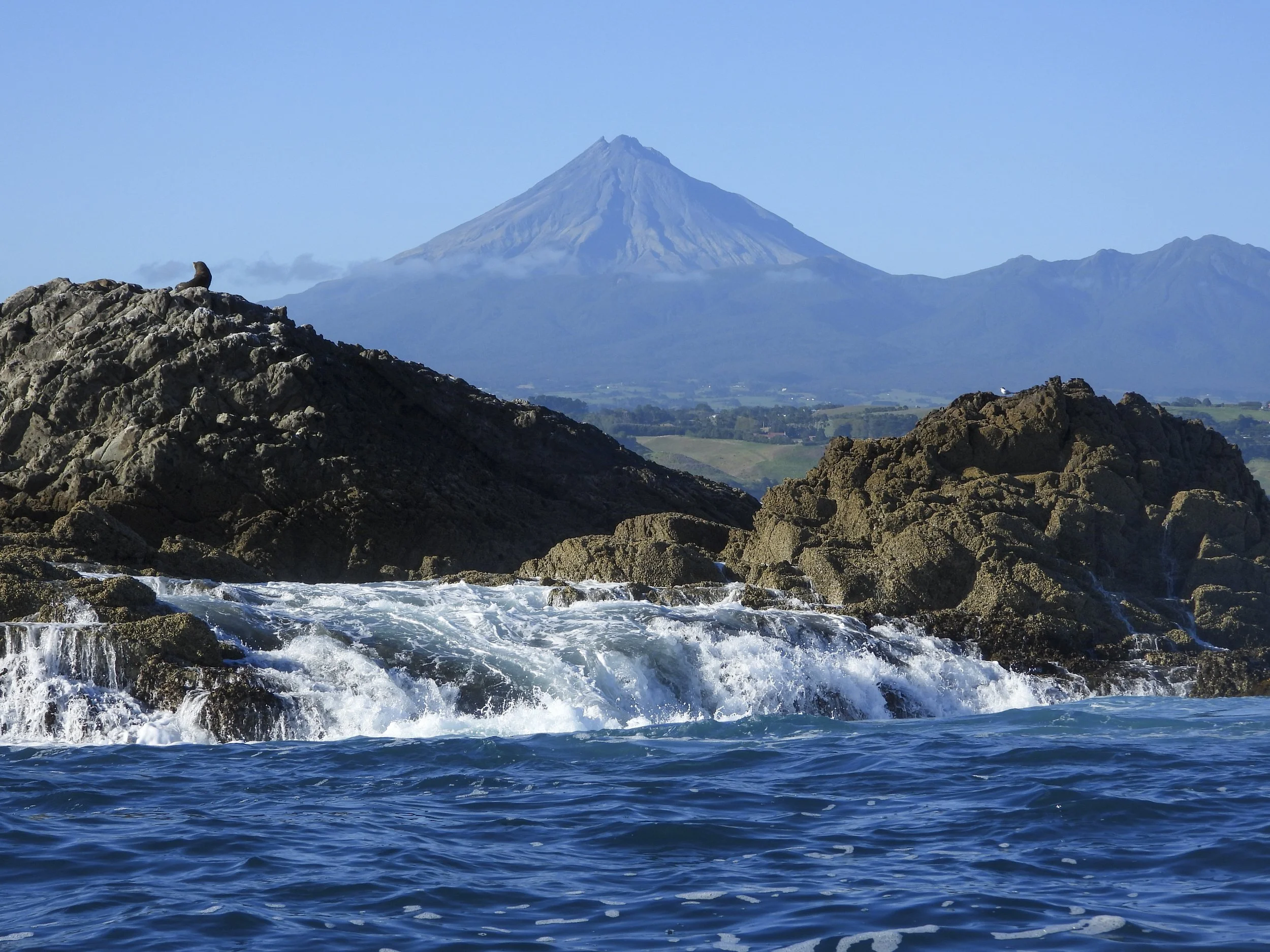
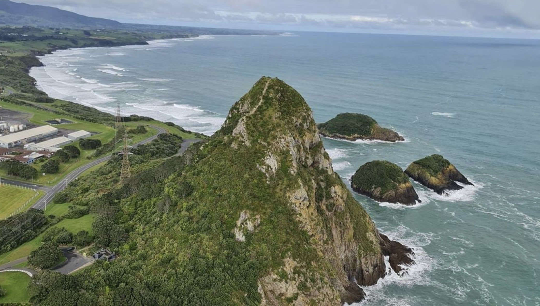
It includes the rocky islands of Waikaranga / Seal Rock (above right) and Tokatapu / Castle Rock, as well as a remarkable variety of underwater habitats: caves, canyons, crevices, overhangs, pinnacles, boulder reefs, volcanic rock, mud and sand.
Together, these habitats provide homes for an extraordinary range of marine life.
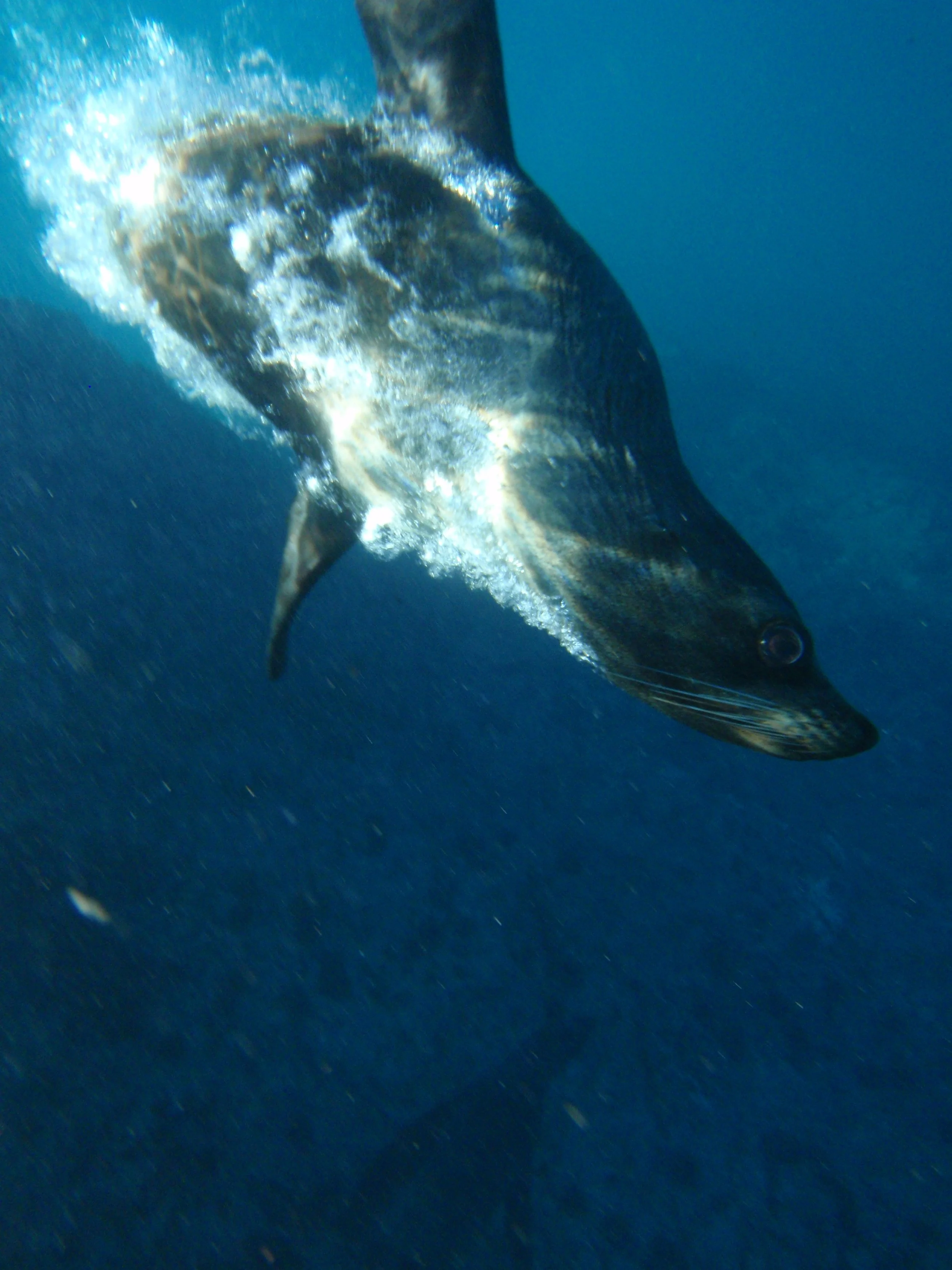
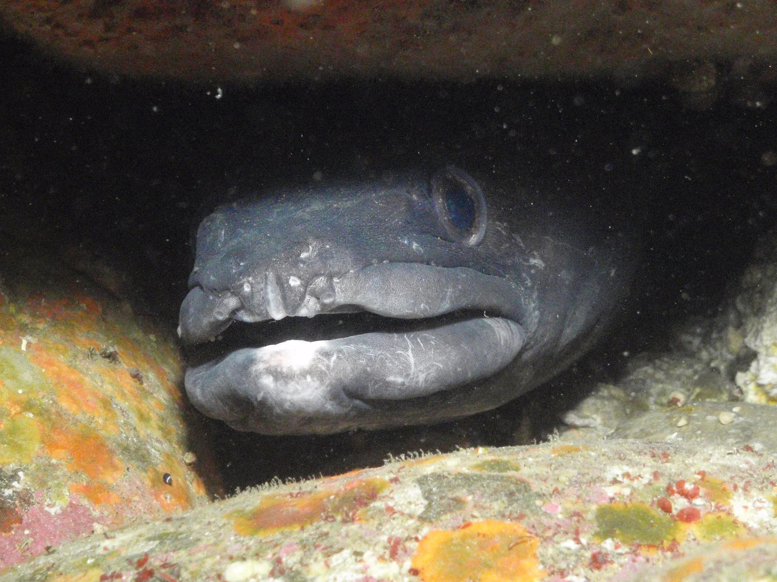
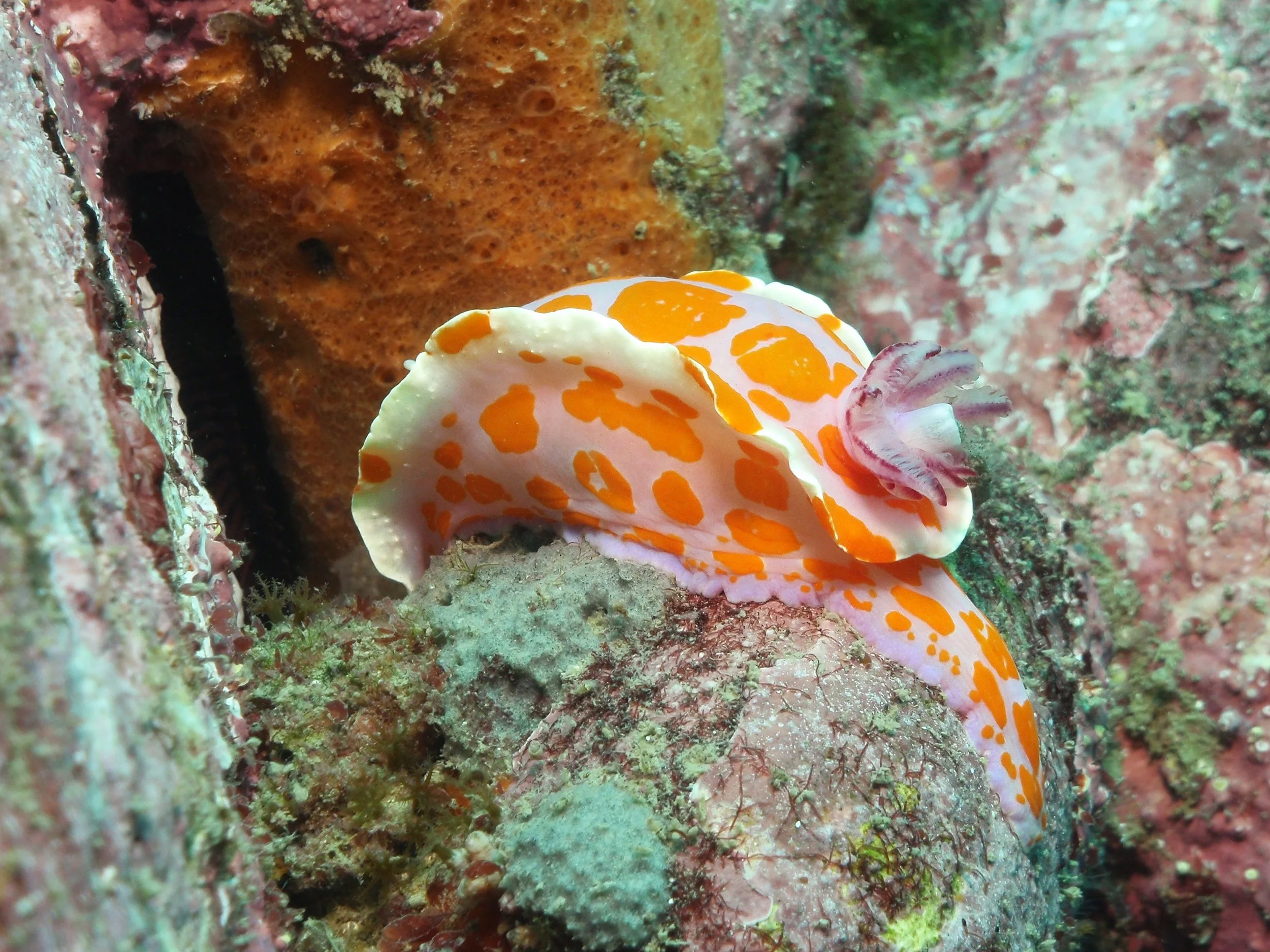
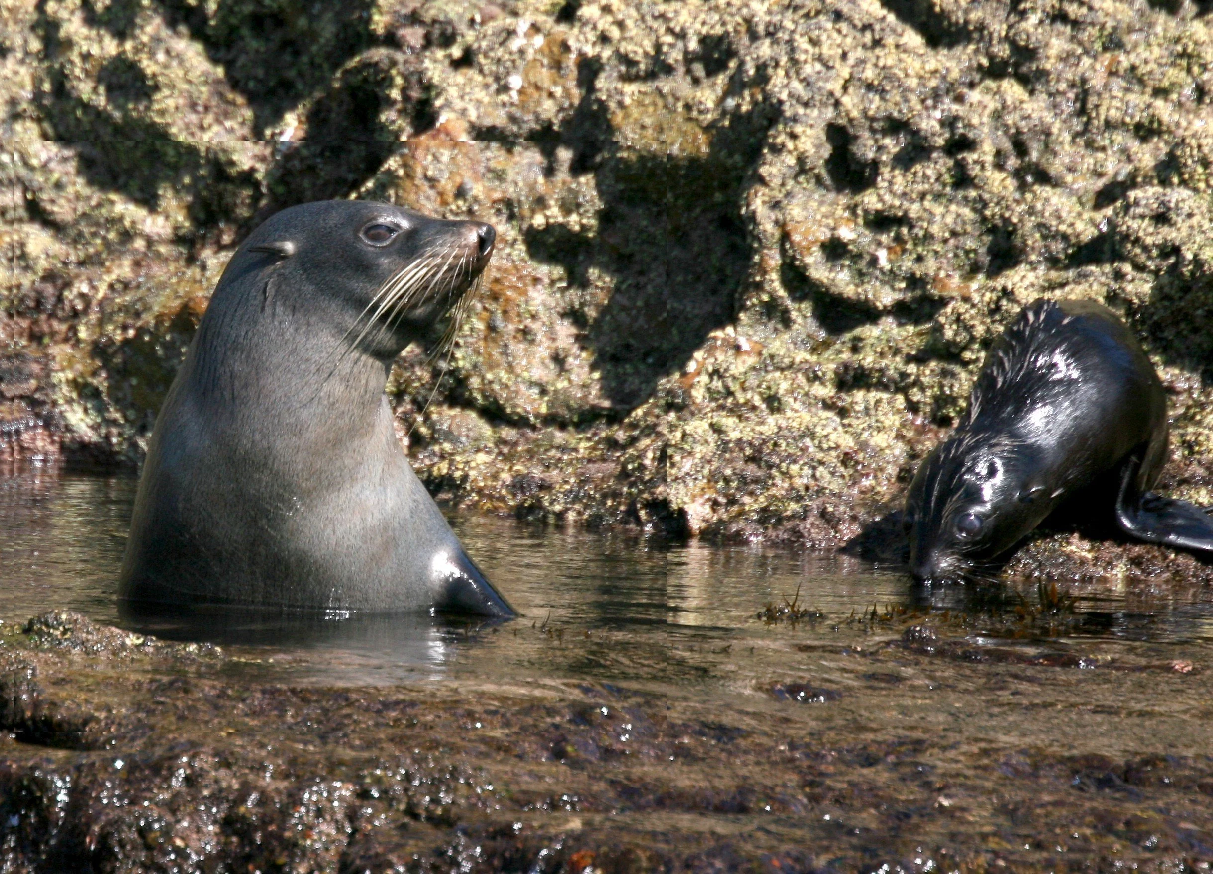
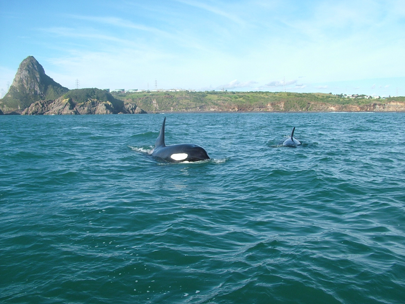
More than 400 species have been recorded in the area, including around 80 species of fish, 50 seaweeds, 136 molluscs, 65 sponges and numerous other invertebrates. The reserve is also home to a breeding population of Kekeno / New Zealand Fur Seals, while occasional visitors include orca, humpback whales and ocean sunfish.
Nearby Ngā Motu / Sugar Loaf Islands provide important nesting habitat for seabirds including toanui / flesh-footed shearwaters and matuku moana / Pacific reef herons.
Images below show a resident kekeno/New Zealand fur seal and pup (left) and kākahi/Orca in the Marine Reserve.
A reserve built by the community
Tapuae Marine Reserve did not simply appear on a map.
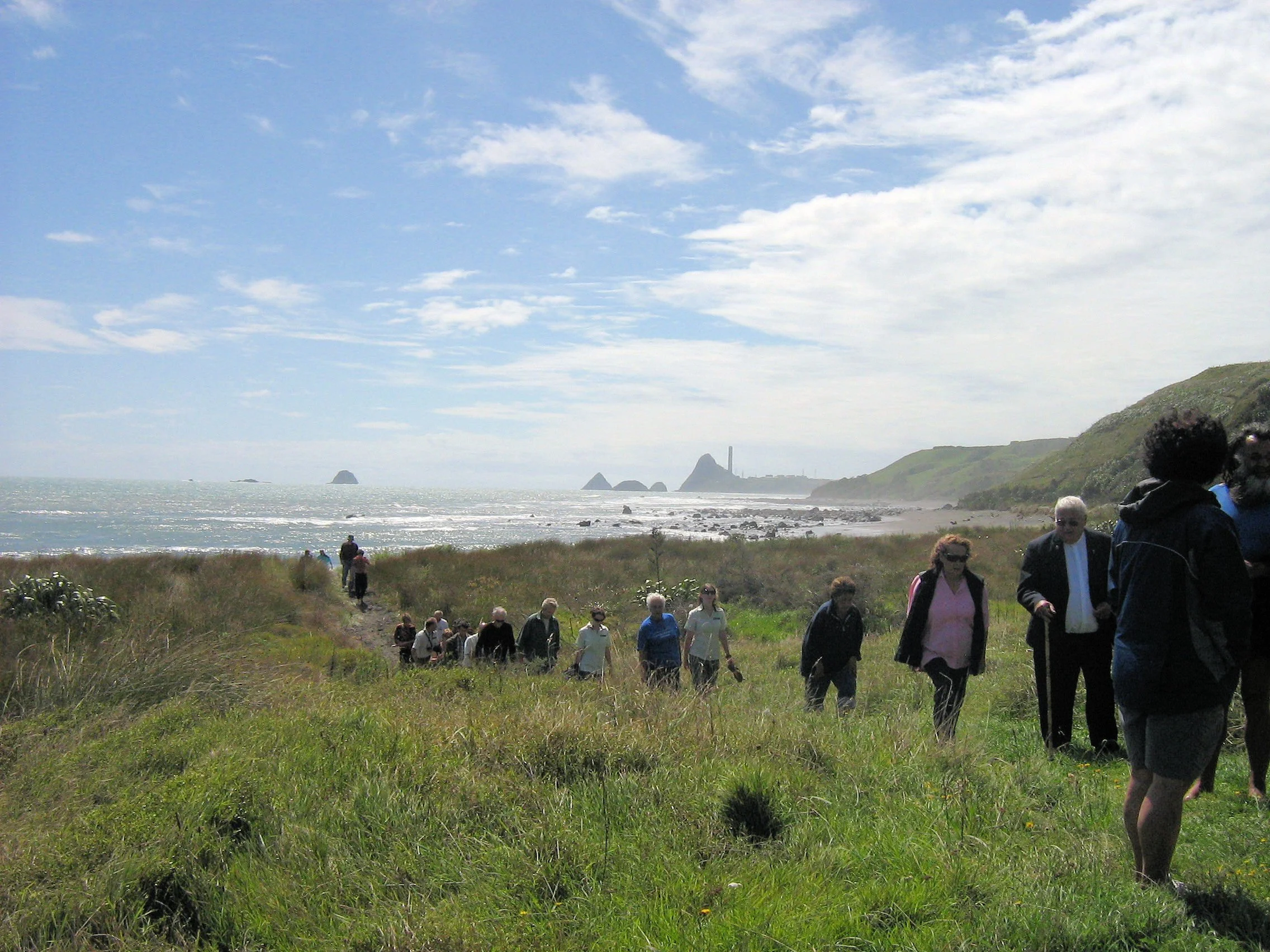
Its establishment in 2008 followed years of advocacy, research and community education led by Ngā Motu Marine Reserve Society, with support multiple individuals in the community and the local tangata whenua Ngā Mahanga a Tairi.
The original objectives were ambitious but straightforward: protect marine life, build a network of marine reserves around Taranaki, encourage scientific research, and help people understand and connect with the coastal environment.
That community input is an important part of the story. This is ongoing through the Tapuae Marine Reserve Advisory Committee which includes representatives from recreational fishers, commercial fishers, local hapu, Taranaki Regional Council, Department of Conservation and Ngā Motu Marine Society.
Because protecting a place is only the beginning. To understand whether protection is working, you need to keep looking. And that is where monitoring comes in.
Images below show the original map (left) and the opening ceremony for the reserve with Ngā Mahanga a Tāiri.
What does marine reserve monitoring actually look like?
The Society’s founding group was diverse but united by care for the ocean. Some of the early members included:
Monitoring a marine reserve isn't simply a matter of counting fish.
Scientists use a range of techniques to build a picture of the whole ecosystem.
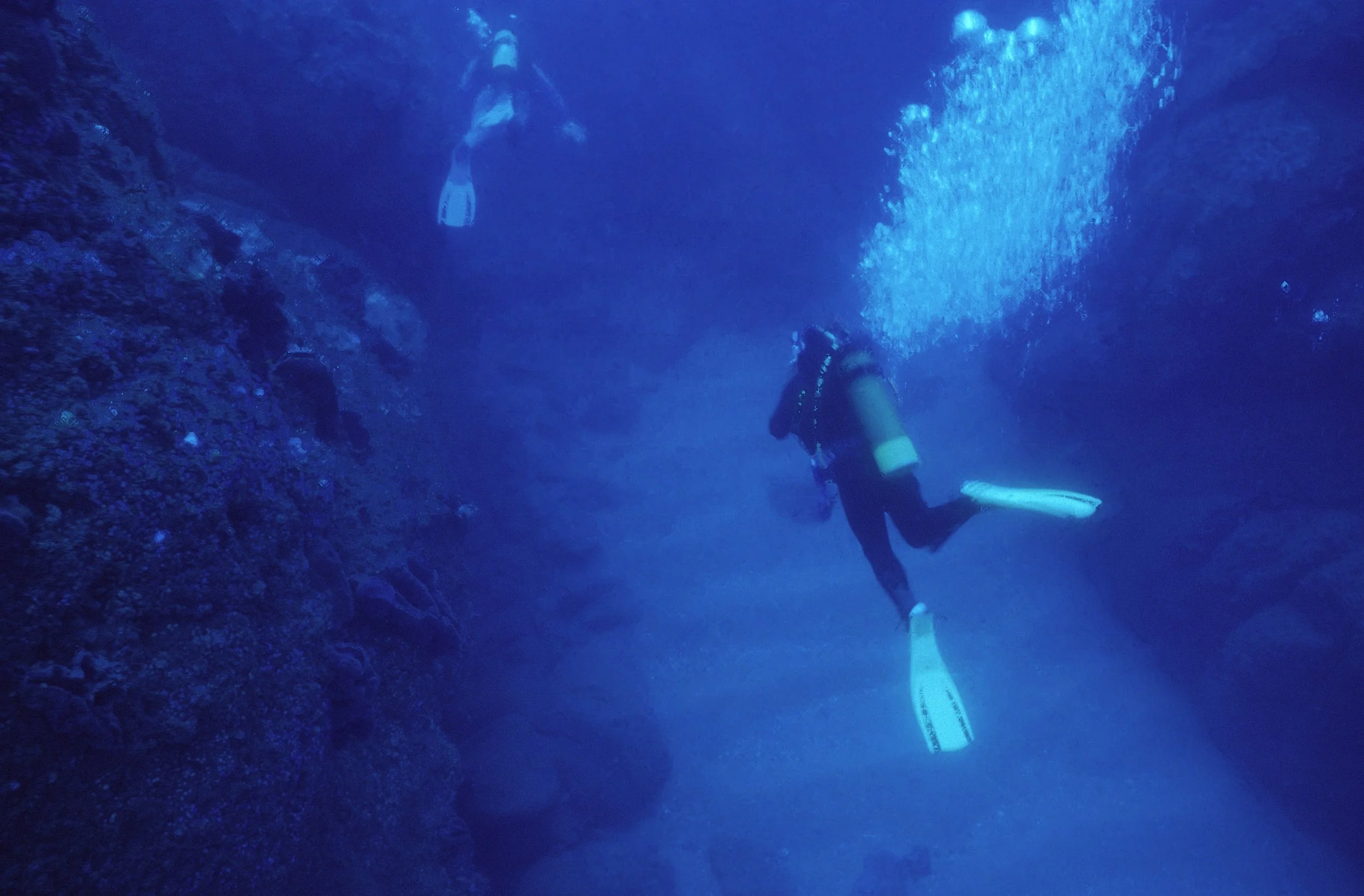
Divers have surveyed reef fish and kōura. Cameras have been placed underwater to record fish without disturbing them. Water samples are collected every month to track ocean conditions. And sophisticated sonar has been used to map the shape and composition of the seabed.
Since the reserve was established, reef fish have been monitored using baited underwater video, or BUV.
The idea is surprisingly simple: a camera is lowered to the seafloor with bait, and around 30 minutes of footage is recorded at each site. The footage can then be analysed to see which species are present, how many are observed and how their size and abundance compare between protected and less-protected areas.
It allows researchers to watch what is happening underwater without having to catch or handle the fish.
“BUV is a non-invasive survey method, perfect for monitoring carnivorous fish species, such as snapper and blue cod. It allows these fish to be surveyed across different habitats and depths, and it is highly repeatable so we can replicate surveys and look for changes over time. In and around Tapuae we now monitor 75 BUV sites, and overtime we are building up a strong dataset showing the positive impact of the reserve.” Oscar Cotter, Ranger Marine Reserves, Department of Conservation New Plymouth Office.
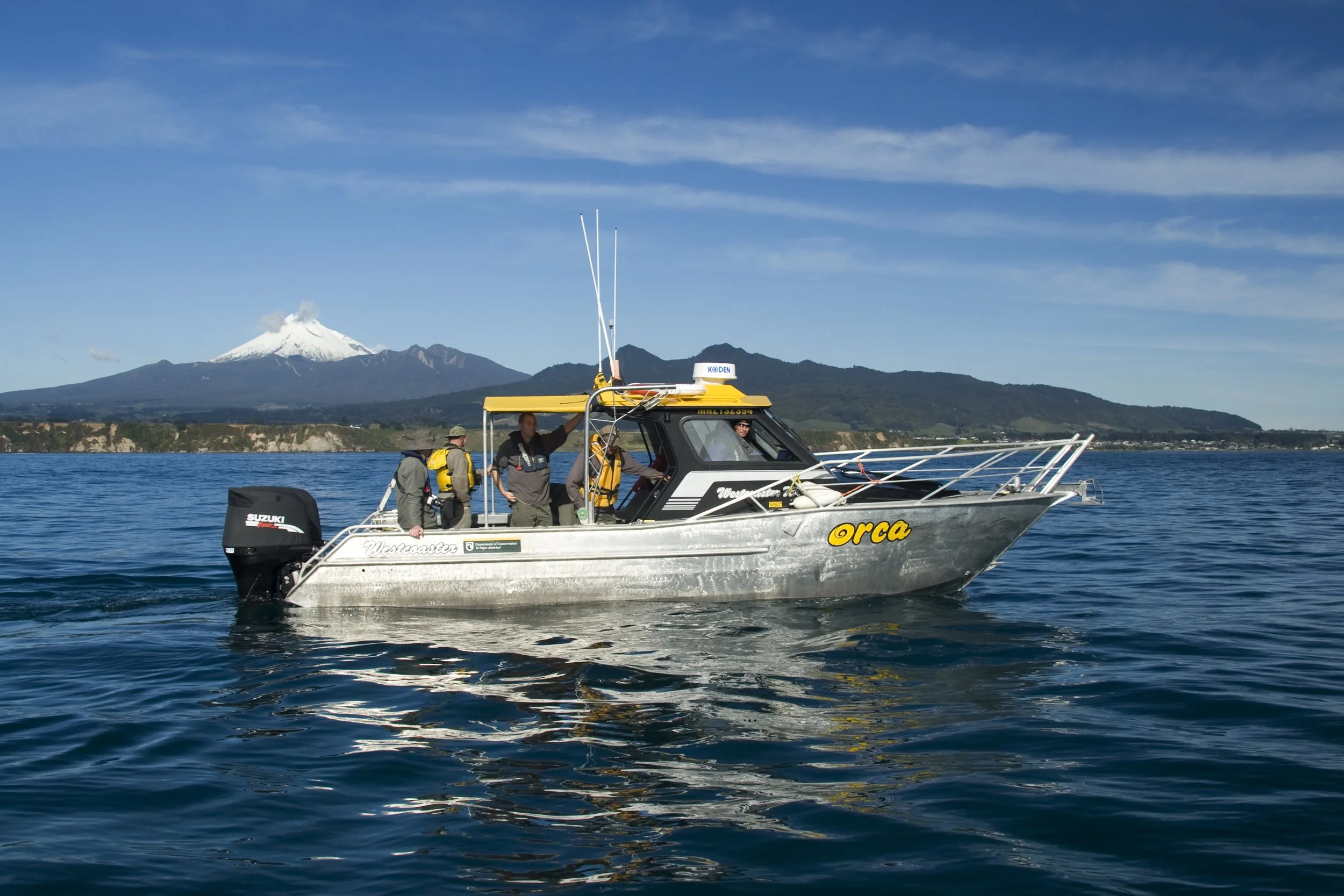
Images below from left, divers in the reserve, the DOC team out on the water.
The fish are telling an encouraging story
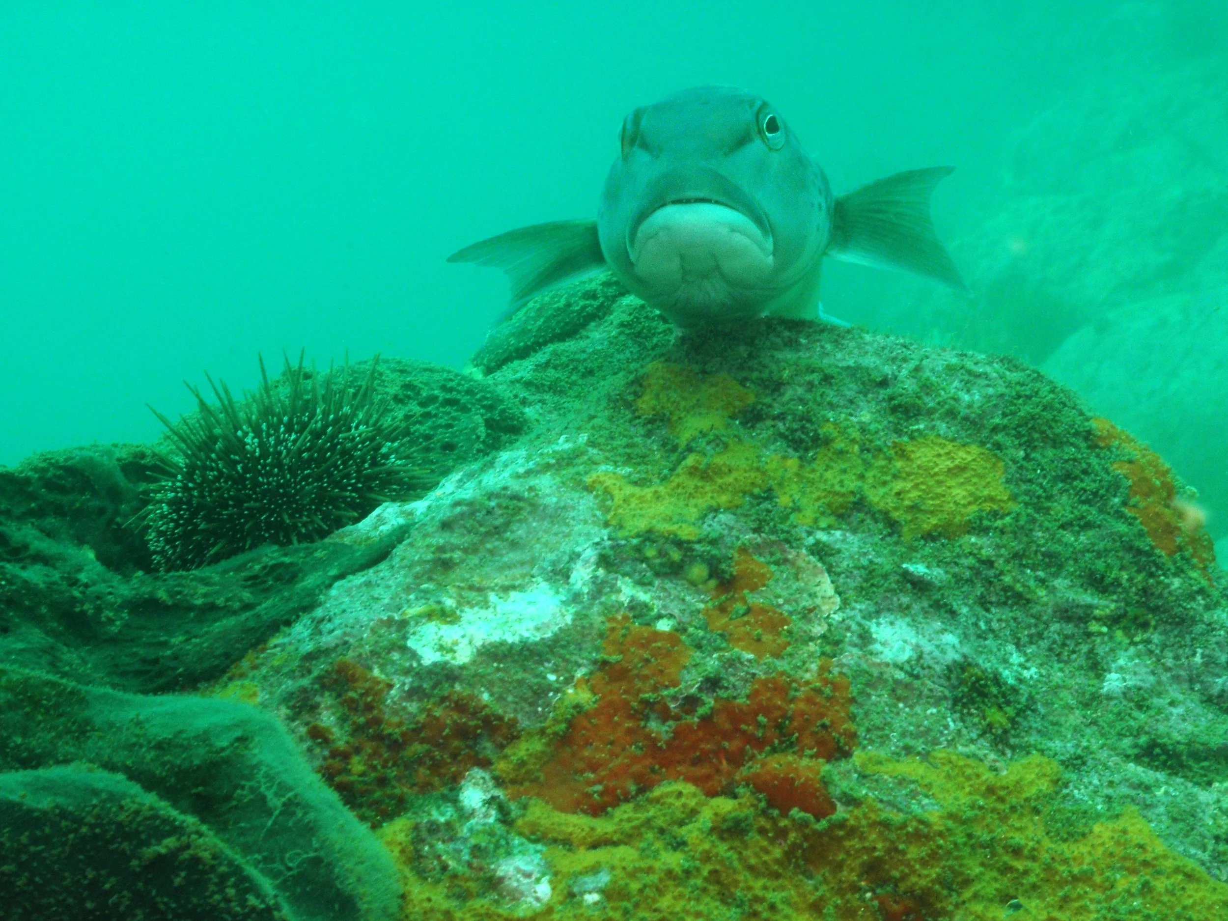
Perhaps the clearest finding from the monitoring is what has been happening with two familiar Taranaki reef fish: rawaru / blue cod and tāmure / snapper.
Across multiple surveys, both species have generally been found in greater numbers in areas with stronger protection.
Blue cod have also been larger inside the marine reserve than at control sites.
The pattern has persisted through the most recent surveys, including those carried out in 2022 and 2024.
That is significant because these are not just any fish.
Blue cod and snapper are important parts of the reef ecosystem, as well as species of cultural, recreational and economic importance.
The monitoring therefore provides evidence that Tapuae Marine Reserve is doing what marine reserves are intended to do: providing a place where important marine species can live and grow with protection from fishing pressure.
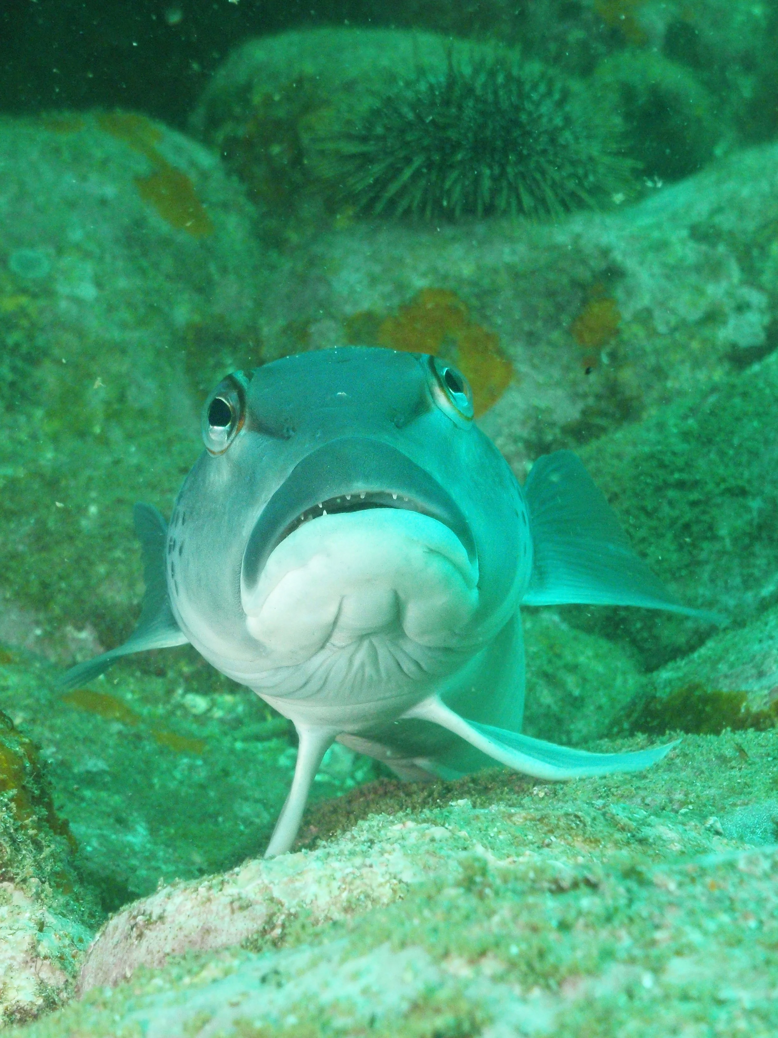
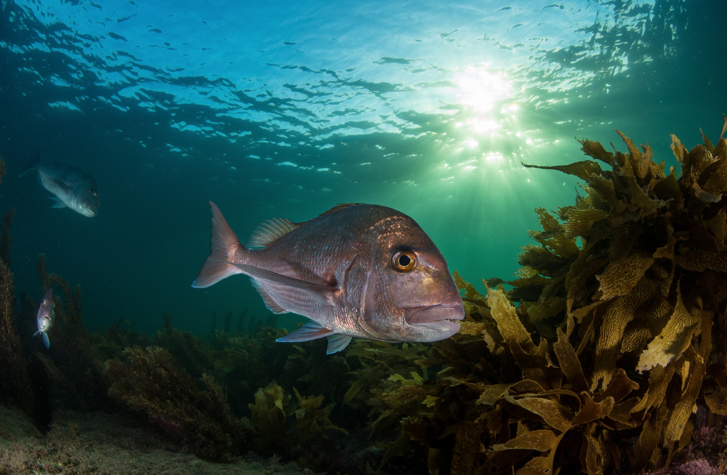
Images below from left, Reserve resident rawaru/blue cod, and a tāmure/snapper.
More about the snapper
Snapper/ tāmure tell an encouraging part of the story.
Earlier surveys recorded relatively low numbers of snapper overall, with most observations occurring in areas with stronger protection.
More recent BUV surveys show that snapper occurrence and average maximum counts have increased considerably across the different protection levels.
By 2024, snapper had become one of the dominant species observed in many of the surveyed areas.
And, like blue cod, they were more abundant at sites with stronger protection.
“Both snapper and blue cod are popular target species for fishers outside the reserve. Tapuae provides a safe haven for these species, to live out their natural life cycle and, importantly, to breed. Allowing these fish to grow large and old, means they produce more young, benefitting not only the local ecosystem but the wider area and fishery”. Oscar Cotter, Ranger Marine Reserves, Department of Conservation New Plymouth Office.
It's not just about fish
Fish may be the easiest part of the story to picture, but the reserve is protecting an entire underwater landscape.
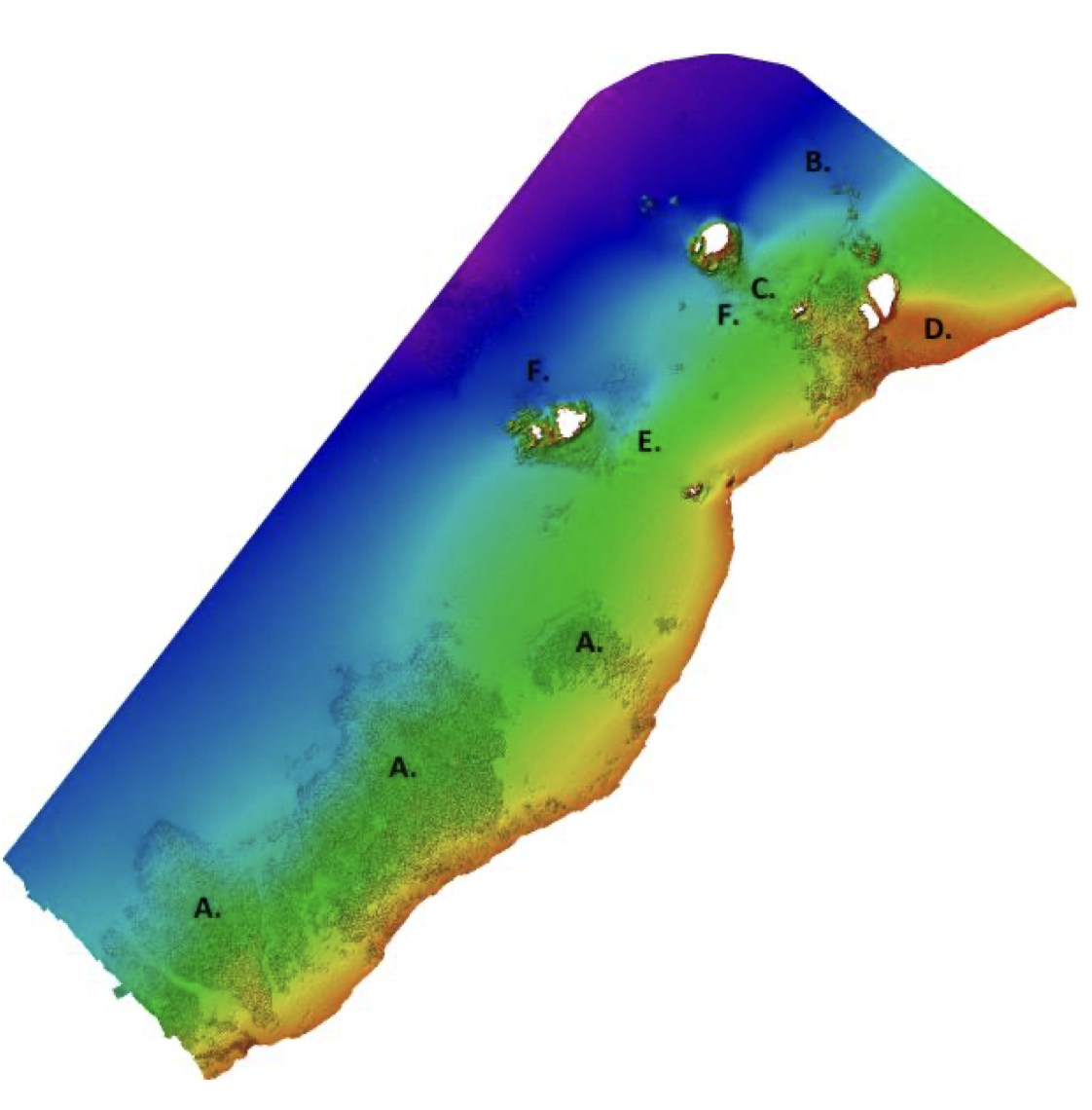
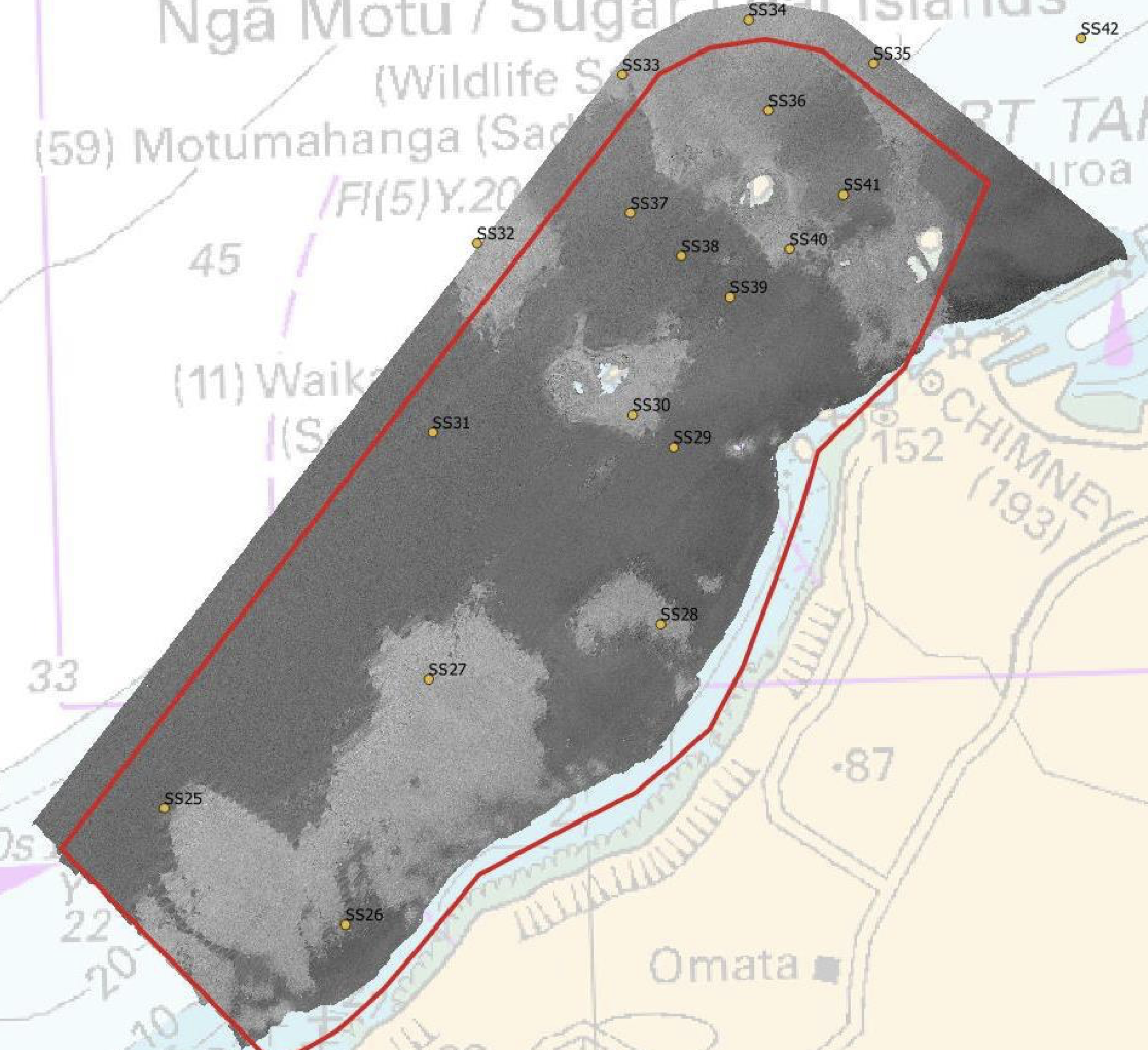
A detailed seabed survey in 2021 used multibeam sonar to reveal the shape of the seafloor across Tapuae Marine Reserve and the neighbouring Ngā Motu / Sugar Loaf Islands Marine Protected Area.
The survey identified a fascinating variety of underwater features including boulder fields, ridges, sand waves and other areas of contrasting seabed.
Researchers also collected 17 sediment samples to help understand what lies across the seafloor.
The next step is to combine these datasets with drop-camera footage and additional sampling to create a detailed habitat map.
That map will provide an important baseline for the future: if the shape or extent of habitats changes, researchers will have a much better way of detecting it.
Think of it as a map of the underwater neighbourhood
A detailed habitat map can tell us where the rocky reefs are, where the sand and mud lie, and where different underwater environments meet.
Knowing what is there now makes it possible to ask a much more useful question in the future: What has changed?
Images below from left, Bathymetric imagery within Tapuae Marine Reserve and the Ngā Motu/ Suger Loaf Island Marine Protected Area (SLIMPA) showing the diverse habitats found in the marine reserve and protected area.
Image on right shows the habitat that was assessed using sediment samples and multi-beam mapping.
Keeping an eye on a changing ocean
The reserve is also helping scientists understand a much bigger challenge: climate change and changing ocean conditions.
Since November 2020, water samples have been collected monthly at Tapuae as part of the New Zealand Ocean Acidification Observing Network.
Scientists measure things including pH and sea surface temperature.
Why does that matter?
As the ocean absorbs carbon dioxide from the atmosphere, seawater becomes more acidic. Ocean acidification can affect shell-building animals such as shellfish and crabs, as well as plankton, coralline algae and wider marine ecosystems. These changes can take years to become clear.
So far, the measurements from Tapuae have shown relatively little variation in pH and temperature inside the reserve. That doesn't mean climate change isn't a concern. It means the long-term record is only just beginning, and continuing to collect the same measurements over many years will be crucial.
“The ocean acidification data is part of a national program to monitor the progress of climate change induced ocean acidification around our coasts, and to understand its impacts on the marine environment. With the uncertainty over the potential future impacts of these issues, having reliable long-term data is essential.” Oscar Cotter, Ranger Marine Reserves, Department of Conservation New Plymouth Office.
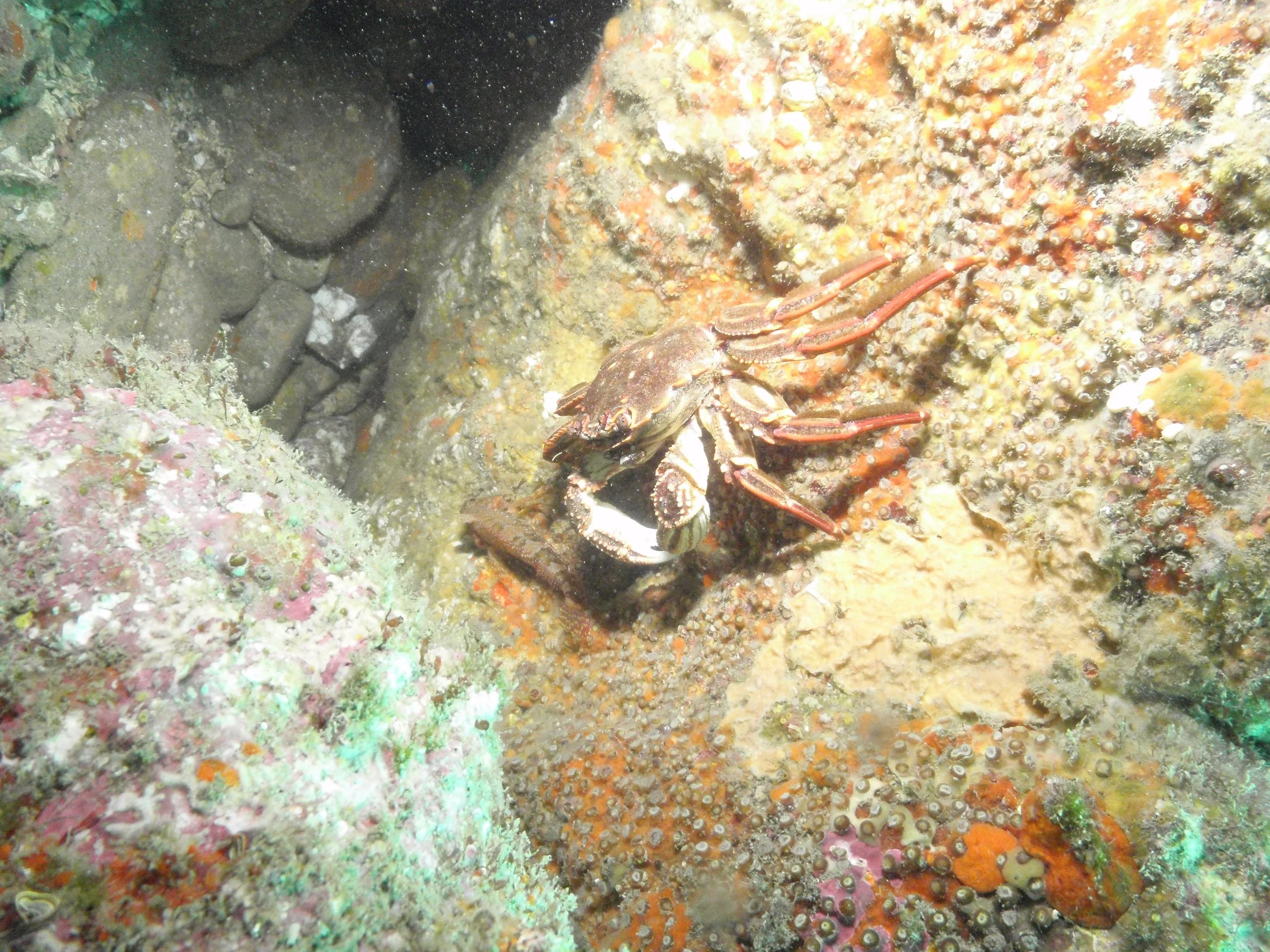
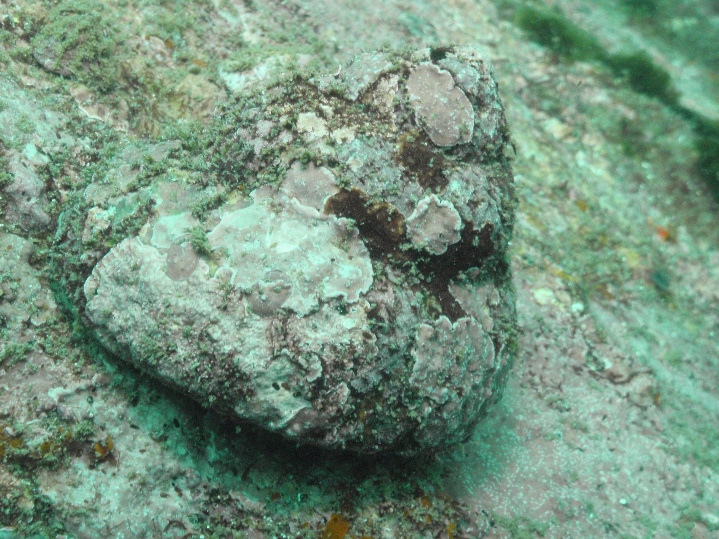
Images below from left, pāpaka/rock crab and a camoflaged pūpū karikawa/cook’s turban shellfish
There is still much to learn
One of the most useful things about the report is that it doesn't pretend we know everything.
There are important gaps in our understanding.
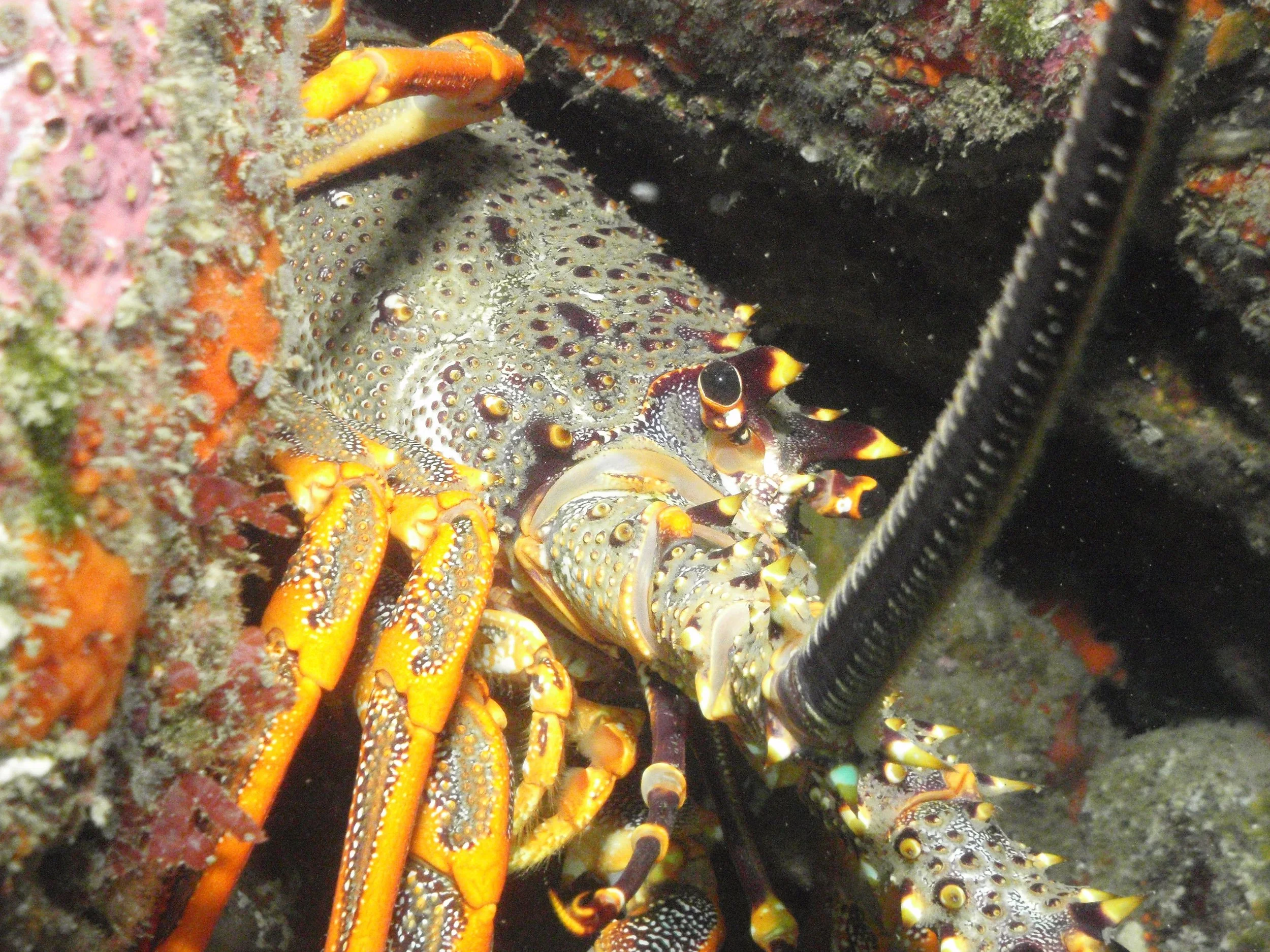
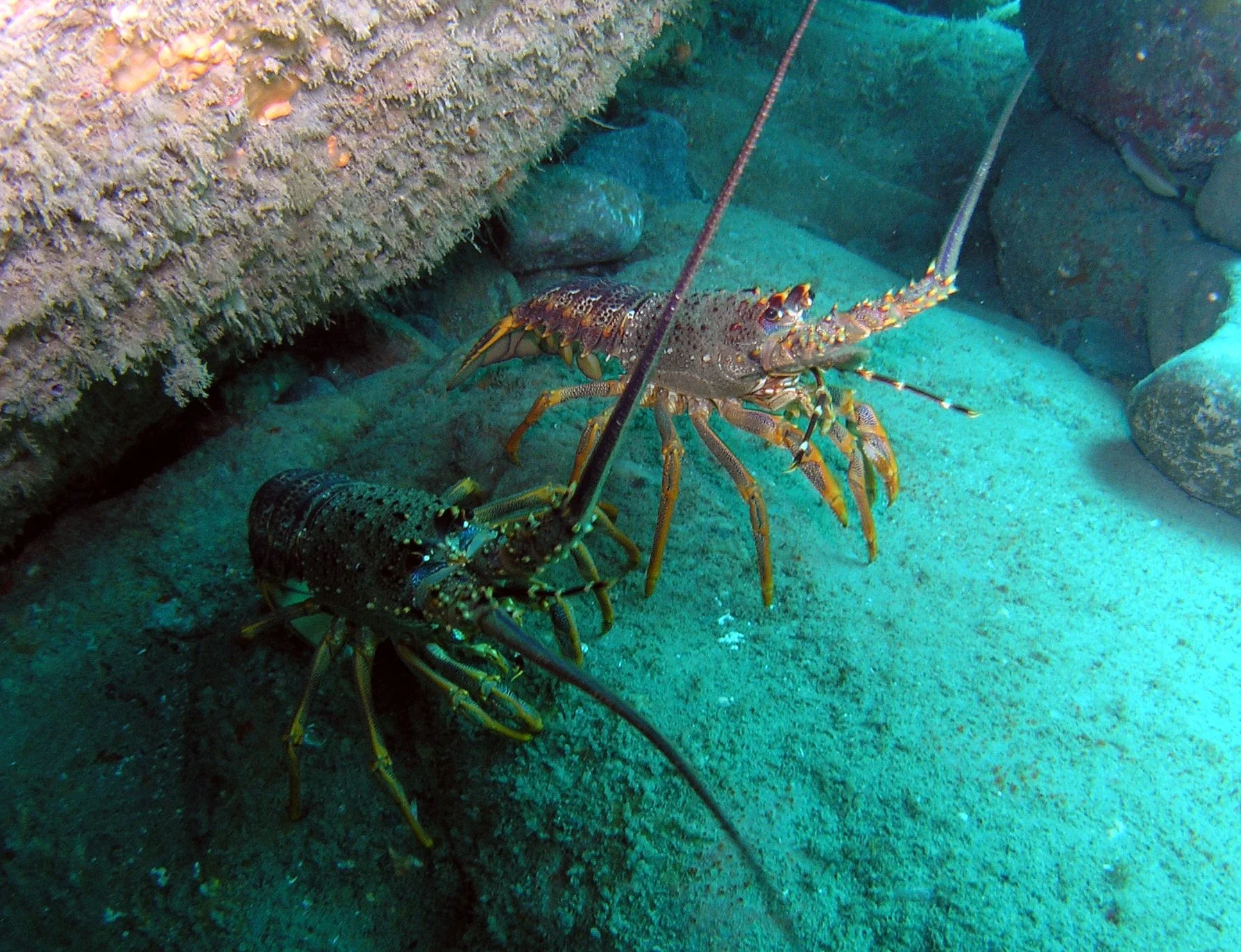
Kōura / rock lobster, for example, were found in greater numbers and were larger in the older surveys within the more strongly protected Conservation Area.
A 2009 survey inside the marine reserve found 77 kōura across three reserve sites, compared with one at the single control site surveyed. But because the survey covered a limited number of locations, researchers say it isn't possible to draw strong conclusions about the impact of the reserve from that result alone.
Instead, those observations provide a valuable baseline for future surveys.
Other areas identified for future monitoring include kina, pāua, intertidal communities and seabed habitats.
That ongoing work is important because marine ecosystems are complex. Climate change, ocean acidification, fishing pressure, invasive species and extreme events can all interact in ways that aren't always immediately visible.
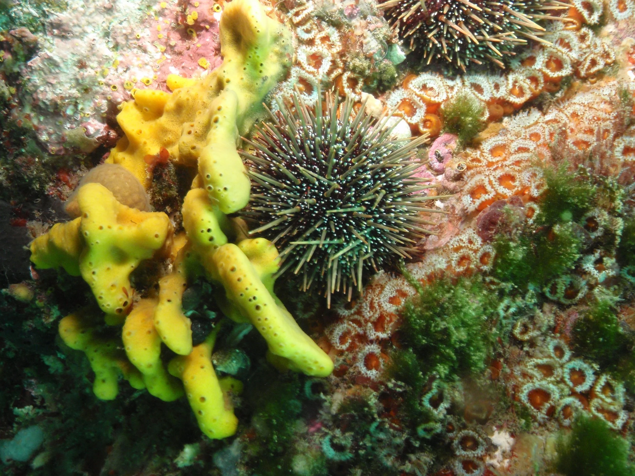
Images below from left, kina among other species, koura/rock lobster pair.
Recent reseach into kōura populations
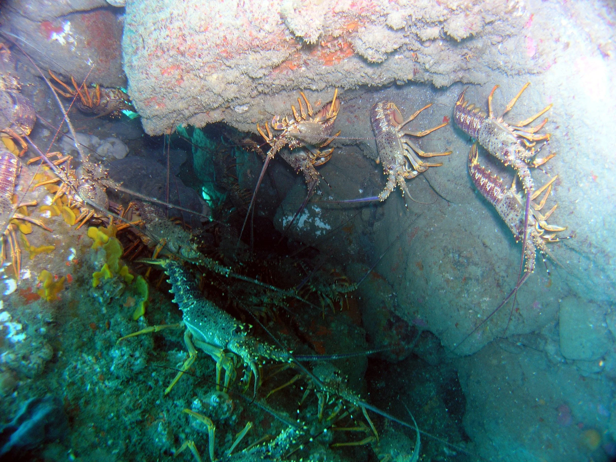
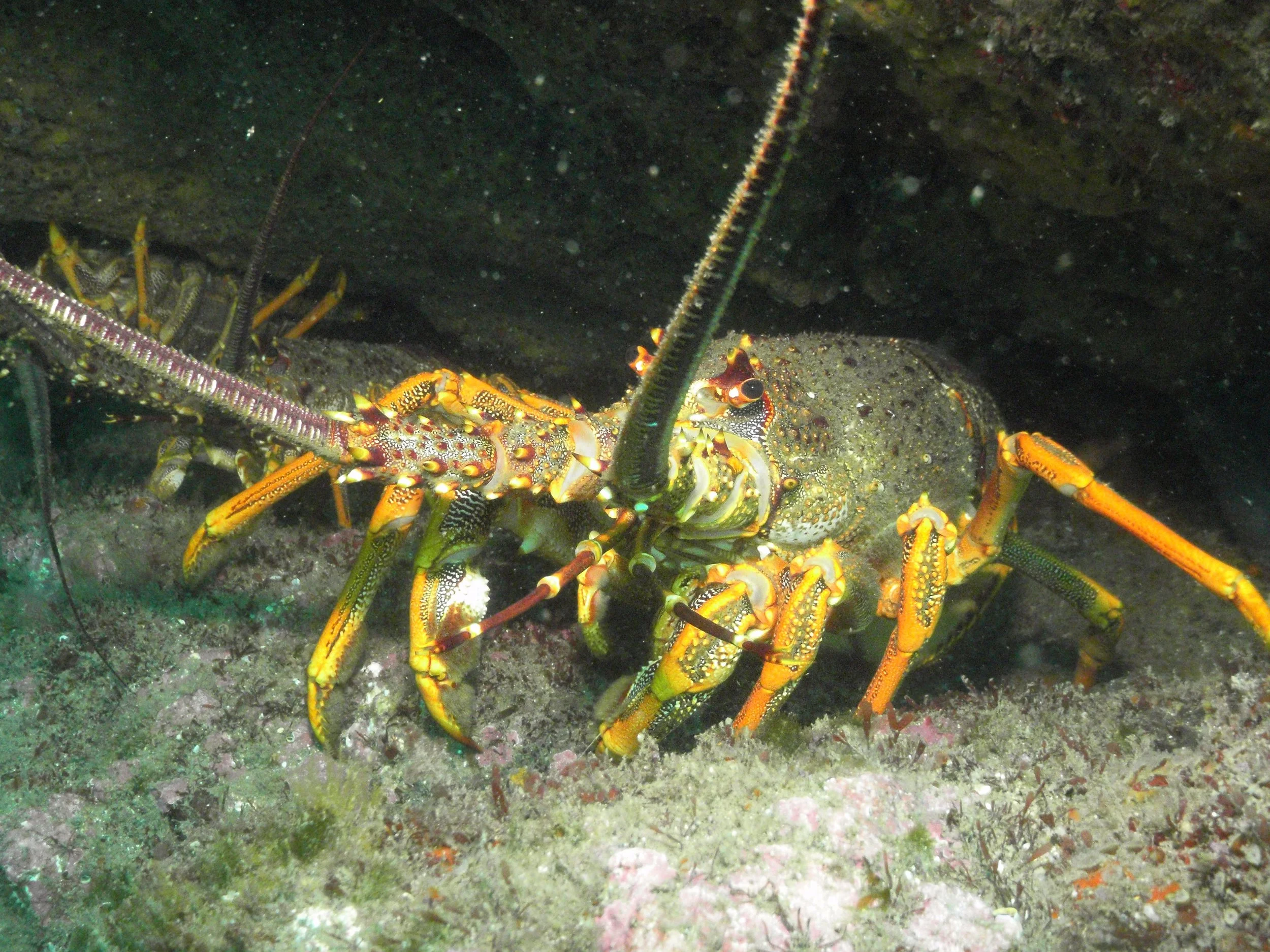
In late 2025 a team of divers surveyed kōura populations in and around Tapuae Marine Reserve, looking at kōura abundance, size, and sex. Across the marine reserve, the adjoining Sugar Loaf Island Marine Protected Area (SLIMPA) and nearby non-protected control sites, divers searched survey transects at 17 distinct sites, counting and measuring a total of 365 kōura.
The survey found that kōura were significantly more abundant and larger at sites within the marine reserve than those outside the reserve, corresponding with what has been found at many other marine reserves around the country.
This is important as kōura are known as a keystone species, with an important role in maintaining ecosystem health. Kōura are also a species of huge cultural, recreational and commercial importance.
This survey was not included the published report, as it was still being analysed, but DOC aims to repeat the kōura survey in late 2026, and publish the results from both surveys in 2027.
A living laboratory on Taranaki's doorstep
Tapuae Marine Reserve is more than a protected patch of ocean.
It is a place where researchers can study how marine ecosystems respond when fishing pressure is removed. It is a refuge for marine life. It is part of the wider Taranaki coastal ecosystem. And it is a place where people can connect with the ocean and see the value of protecting it.
Seventeen years of protection have provided some strong evidence, particularly for blue cod and snapper, that marine protection can make a difference.
But perhaps the most important lesson is that protection and monitoring go hand in hand.
The reserve gives marine life a place to recover and thrive.
Monitoring gives us the evidence to understand what is happening.
And long-term monitoring gives future generations something even more valuable: a record of how a changing ocean is changing with us.
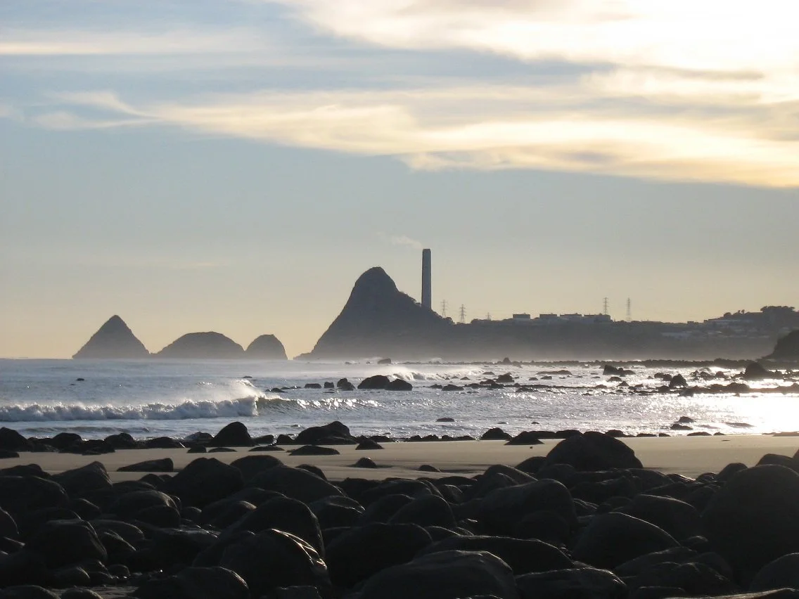
Images below from left, angles of the coastline of Tapuae Marine Reserve coastline
By the numbers
1,404 ha
Area protected by Tapuae Marine Reserve
14 km²
Approximate area of the reserve
2008
Year the marine reserve was established
400+
Marine species recorded in the area
17 years
Of marine reserve protection
5
Baited underwater video surveys completed since establishment
2024
Most recent reef-fish survey included in the report
Monthly
Water sampling undertaken to monitor ocean conditions since 2020
The bigger picture
The story of Tapuae Marine Reserve is still being written.
The latest monitoring shows encouraging results for important reef fish and kōura while also highlighting questions that scientists are still working to answer.
Future monitoring will focus on strengthening our understanding of kōura, pāua, kina, intertidal communities and underwater habitats, while continuing regular reef-fish surveys and ocean monitoring.
Because the ocean doesn't stand still.
And neither should our understanding of it.
**This article was published by Sophie Walker on 11 September 2026 based on the Department of Conservation Tapuae Marine Reserve Monitoring Summary Report 2016 - 2024.